How a City’s Highway Geometry Evolves
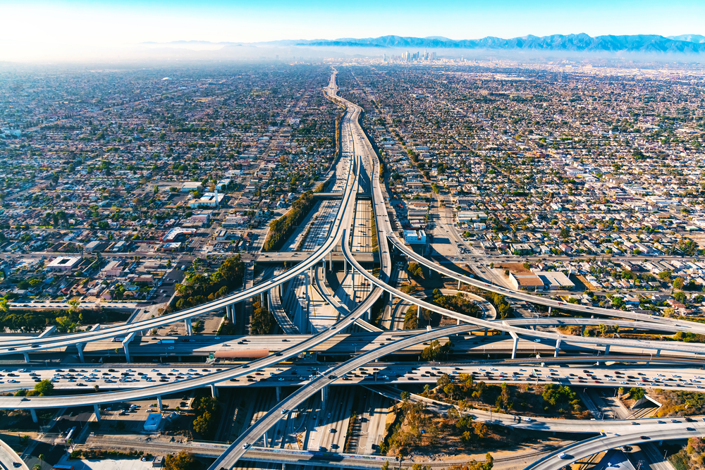
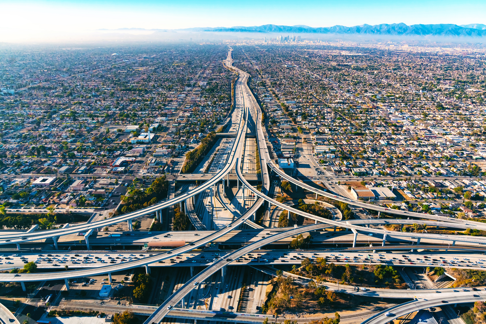
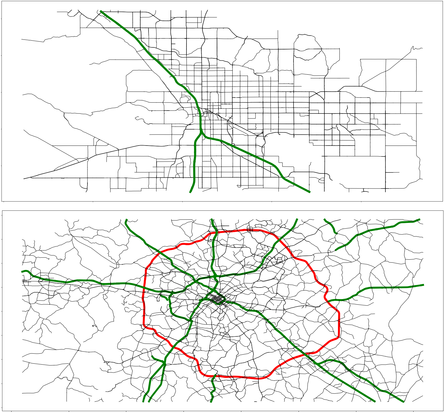
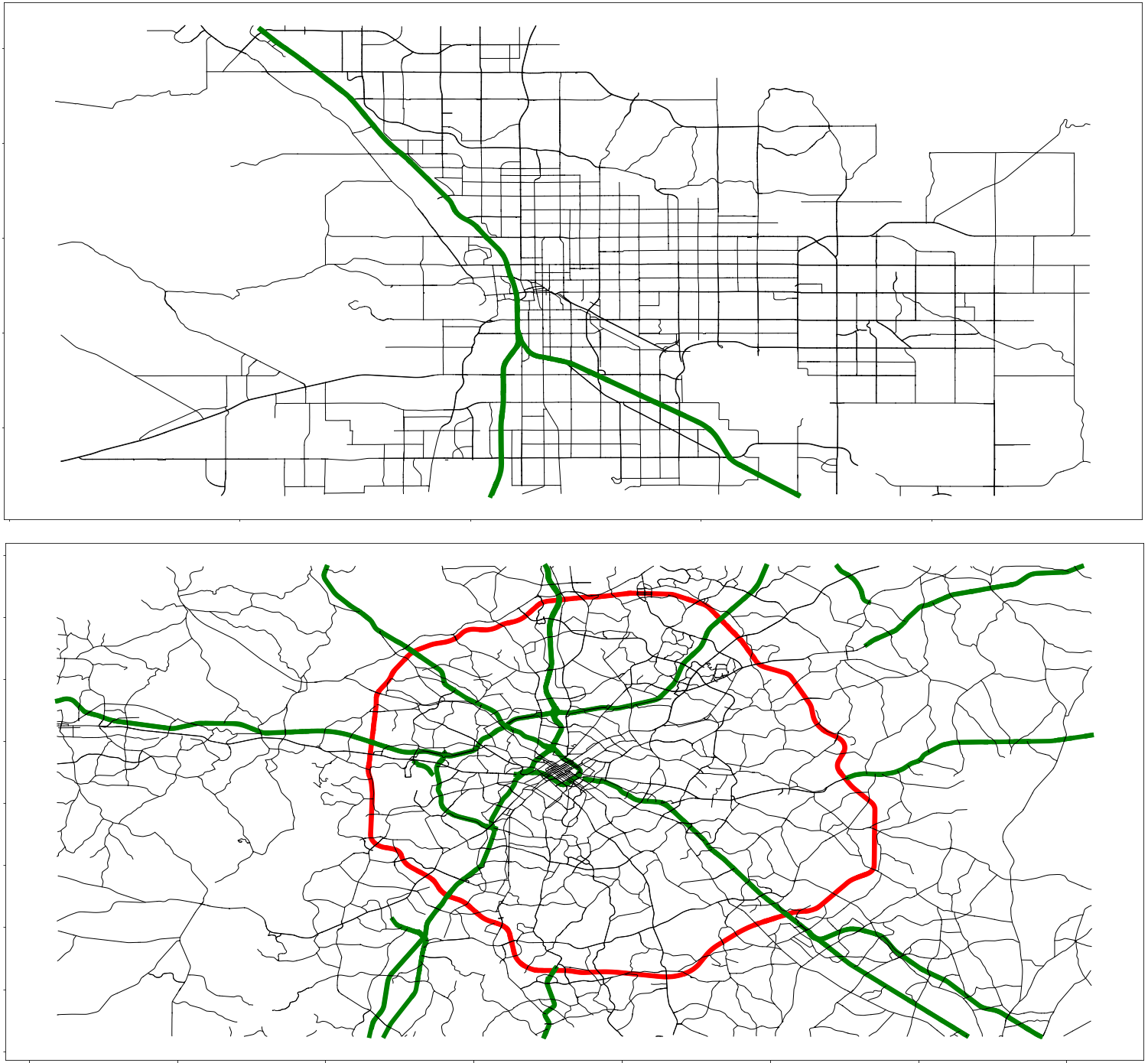
Most US cities are surrounded by a ring road or spanned by a freeway to ease traffic in the city center. Now researchers have determined the traffic thresholds at which each of these structures tends to emerge, finding that a freeway typically appears if the number of commuters goes above 10,000 and that a ring road is built if that number tops 100,000 [1]. At a time when many US cities are considering infrastructure updates, the researchers say that the finding could help city officials decide whether to renovate their existing highways or to build new ones.
New road infrastructure typically requires a significant financial outlay, both for its construction and for its maintenance. But a new road can also benefit a city’s treasury by reducing commuting times, which can give road users more time to earn cash that the city taxes. For small cities, which generally have a low number of commuters, the money gained from time saved is rarely enough to warrant building such a road. But as a population grows, the balance changes, and, at some point, the benefit exceeds the cost, leading to the construction of a high-throughput road. But when exactly does that transition occur, and does it happen at the same time for all high-throughput-road types? And what happens when heavy traffic on the new road becomes a problem?
To answer those questions, Erwan Taillanter and Marc Barthelemy of the University of Paris-Saclay developed a cost–benefit-based model to study the development of two common traffic-easing road types. The first is the urban freeway, which bisects a city, allowing traffic to bypass busy areas. The second is the ring road, which circles a city, allowing traffic to avoid its center. The duo input data from 888 US cities in the 1960s, the decade when most of the country’s urban freeways and ring roads were built. They included the number of car commuters, the costs of road construction, and the duration of the average trip.
The model suggests that the high-throughput-road need for a city depends predominantly on the traffic demand: cities with less than 10,000 commuters require no major roadway; those with 10,000 to 100,000 commuters build an urban freeway; and those with over 100,000 commuters construct a ring road.
The researchers also looked for the conditions that lead a city with an urban freeway to subsequently build a ring road as its population expands. They found that the update only makes financial sense if the city has some commuters who travel to the city center and others who travel between suburbs. If the city has only suburb-to-suburb commuters, the ring road on average increases travel distance—everyone must go the long way around—so overall no time is saved.
Next, Taillanter and Barthelemy used the model to study the economics of removing an urban freeway after building a ring road, an action that they note is on the rise as cities convert such roads into green spaces, for example. They factored in the social costs of keeping a freeway, such as an increased prevalence of childhood asthma and a shorter average life expectancy. The duo found that the total benefit (financial and social) of road removal outweighs the total costs of increased commute times for cities with populations of less than 1.4 million. For larger cities, the benefits do not outweigh the costs, but “ultimately, removing an urban freeway is a political decision, and it might supersede cost–benefit considerations,” Barthelemy says.
Barthelemy hopes that the findings will trigger other groups to study the evolution of road infrastructures, using this model as a starting point for more refined approaches. He notes that while researchers in other fields, such as economics, have studied this problem, he and Taillanter are the first to consider it from a multicity point of view rather than a city-specific one. “We capture the essence of the phenomenon—and its critical parameters—even if we don’t model all the details,” he says.
“Research on road infrastructure is largely qualitative, and this study is one of the few exceptions that combines empirical results with a modeling approach,” says physicist and data scientist Haroldo Ribeiro of the State University of Maringá, Brazil. Ribeiro envisions the study’s results being used by city officials to weigh the pros and cons of building urban freeways and ring roads. “The conclusion that removing urban freeways may become economically justified is a crucial point for debate in the context of urban planning.”
–Katherine Wright
Katherine Wright is the Deputy Editor of Physics Magazine.
References
- E. Taillanter and M. Barthelemy, “Evolution of road infrastructure in large urban areas,” Phys. Rev. E 107, 034304 (2023).


